Isabela and Galápagos route map
Isabela and Galápagos route map [2026]
Use this map to separate getting to Isabela from exploring it. Town bases and visitor sites are different kinds of points, and a connection line indicates a planning link rather than an available daily service.
Compare tours: Isabela day tours compared [2026] →
Updated
The short answer
The map is an orientation tool, not a navigation chart, live timetable or permission to enter protected sites.
GALÁPAGOS
A map for planning the journey
Select a stop to see its role in the trip. Lines show planning connections, not live services, road directions or guaranteed transfers. Confirm departures and access with your operator.
Number labels are offset where needed; fine lines connect them to the actual point.
Baltra / Seymour airport
Airport reference point from DGAC. Reaching Puerto Ayora adds channel and land transfers.
-0.4539°, -90.2658° · Open geographical map ↗
Puerto Ayora · Santa Cruz
Approximate town/port anchor. Confirm the actual departure pier and reporting point.
-0.7485°, -90.3048° · Open geographical map ↗
Puerto Baquerizo Moreno · San Cristóbal
Approximate town base, not an exact meeting point.
-0.9000°, -89.6100° · Open geographical map ↗
Puerto Villamil · Isabela
Approximate town base for accommodation and local excursions.
-0.9600°, -90.9700° · Open geographical map ↗
Las Tintoreras
Guided boat/islet outing; local Isabela and Santa Cruz-origin products are different purchases.
-0.9705°, -90.9606° · Open geographical map ↗
Los Túneles / Cabo Rosa
DPNG site reference. Exact boat route and water sessions depend on the authorized outing.
-1.0505°, -91.1679° · Open geographical map ↗
Concha de Perla
Check current lagoon access and water conditions. A guided-service price is not an official entrance fee.
-0.9620°, -90.9590° · Open geographical map ↗
Wall of Tears / Muro de las Lágrimas
Penal-colony historical site. Confirm the current permitted land route.
-0.9644°, -91.0135° · Open geographical map ↗
Arnaldo Tupiza breeding centre
Agency-managed reservation under the current park framework; confirm time and guide.
-0.9475°, -90.9741° · Open geographical map ↗
Southern Isabela wetlands
Broad visitor-complex reference, not a precise flamingo position or path entrance.
-0.9604°, -90.9890° · Open geographical map ↗
Sierra Negra volcanic massif
Approximate massif reference from IG-EPN. This is not the trailhead or the meeting point.
-0.8300°, -91.1700° · Open geographical map ↗
- Baltra / Seymour airport → Puerto Ayora · Santa Cruz · Guided excursion: Planning connection: arrange the land and channel stages; no timetable or fare implied.
- Puerto Ayora · Santa Cruz → Puerto Baquerizo Moreno · San Cristóbal · Guided excursion: Confirm the date’s actual boat. DPNG gives an approximate 2–3-hour crossing scale, conditions dependent.
- Puerto Ayora · Santa Cruz → Puerto Villamil · Isabela · Guided excursion: Confirm the sailing and all boarding charges; the line does not guarantee a daily service.
- Puerto Villamil · Isabela → Las Tintoreras · Guided excursion: Planning link, not a sailing route. Confirm pickup, access and the permitted program.
- Puerto Villamil · Isabela → Los Túneles / Cabo Rosa · Guided excursion: Planning link, not a sailing route. Confirm pickup, access and the permitted program.
- Puerto Villamil · Isabela → Concha de Perla · Guided excursion: Confirm current path access and any booking or guide requirement; no continuous trail is implied.
- Puerto Villamil · Isabela → Wall of Tears / Muro de las Lágrimas · Guided excursion: Confirm current path access and any booking or guide requirement; no continuous trail is implied.
- Puerto Villamil · Isabela → Arnaldo Tupiza breeding centre · Guided excursion: Confirm current path access and any booking or guide requirement; no continuous trail is implied.
- Puerto Villamil · Isabela → Southern Isabela wetlands · Guided excursion: Confirm current path access and any booking or guide requirement; no continuous trail is implied.
- Puerto Villamil · Isabela → Sierra Negra volcanic massif · Guided excursion: Choose the caldera, Volcán Chico or sulfur route explicitly; marker is only the approximate massif.
Select a stop to see its role in the trip. Lines show planning connections, not live services, road directions or guaranteed transfers. Confirm departures and access with your operator. · Natural Earth
Town, coast and volcanic interior
Puerto Villamil is the base for local accommodation and many outings. Tintoreras and Los Túneles are different marine decisions; the wall, wetlands and centre form a land-planning group; Sierra Negra is an organized inland route. Do not join every dot into one day because a small screen makes the distances look short.
Check the actual start and end of a product. Some broad Galápagos results show places on Isabela while the meeting point is on Santa Cruz.
Inter-island connections need a separate plan
Puerto Ayora is the Santa Cruz boat base and Baltra is a separate airport gateway. San Cristóbal has Puerto Baquerizo Moreno. Moving among those points requires confirmed services and ground or channel stages; map lines do not reserve seats or guarantee a protected connection.
Plan San Cristóbal–Isabela via Santa Cruz unless a direct service is specifically confirmed. Do not treat a schematic straight line as proof of a nonstop ferry.
Coordinates are reference positions
The map uses DPNG visitor-site reference coordinates and approximate town anchors, with airport information from DGAC. These are orientation positions, not trailheads or private-boat landing instructions. The current park visit rules determine who may enter and how.
A historical source can locate a place without confirming today’s access. Obtain the actual route and site reservation through the authorized operator.
Turn orientation into a realistic stay
Fix arrival, room and onward connection first. Then keep separate full days for the marine and volcanic experiences you choose, leaving local time flexible. The ferry and day-trip pages explain why a Santa Cruz excursion and a local Isabela outing are different purchases.
Use the map to remove an unnecessary move as readily as to add one. Time at the town, lagoon or permitted wetland paths can be a reason to stay longer on one island rather than cross again.
Three groups of visits around Puerto Villamil
Read the local points in three groups: a marine booking to Tintoreras or Los Túneles, a guided inland volcanic outing, and local land visits around the wall, wetlands and breeding centre. Each group uses time differently. Keeping those categories visible helps avoid an itinerary that assumes every map point is a quick roadside viewpoint.
A nearby map point can still require a boat, site slot or current path check. The centre is a clear example because its reservation is named in the 2026 framework. The volcanic massif marker is approximate and deliberately does not identify a trailhead. Obtain the actual pickup and permitted route from the operator instead of navigating to the visual center of the symbol.
Use the archipelago layer for a workable connection
Baltra airport, Puerto Ayora and Puerto Villamil are distinct transport points. The map’s line between Baltra and Ayora represents a planning chain with land and channel stages, while the Ayora–Villamil link represents a boat connection to confirm. These lines are not a single through service, and no automatically protected transfer is implied.
For a Santa Cruz-origin day trip, the same visitor places can appear on the map but the day begins elsewhere. For an overnight stay, local departures usually make more sense. Fix the town where you sleep and the confirmed transport first, then choose activities on full local days. The map is most useful when it removes a rushed connection rather than simply adding another attraction.
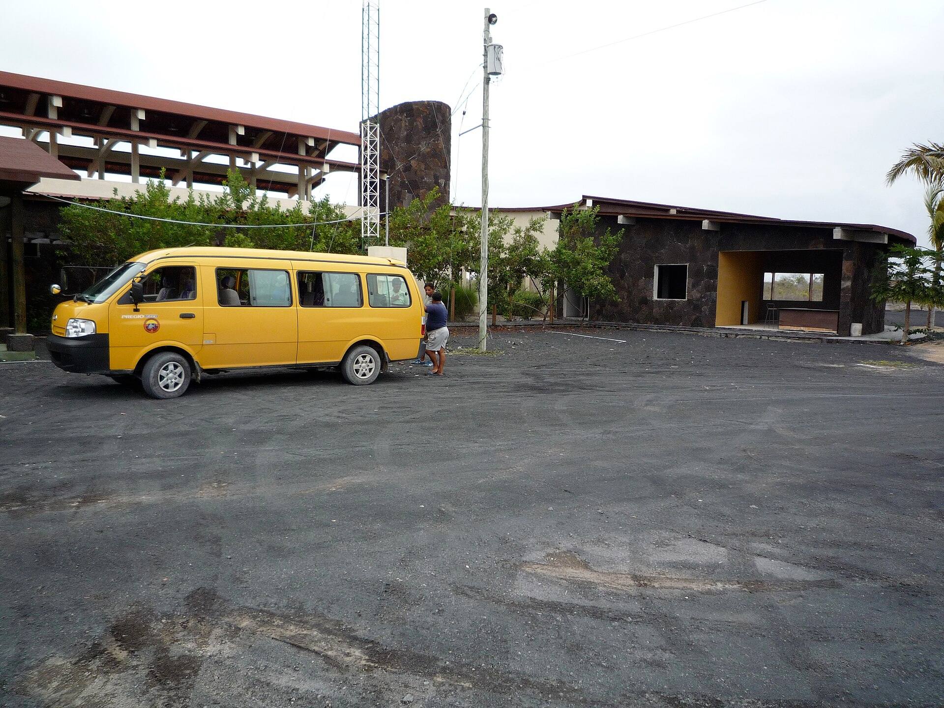
An archival Isabela airport scene; the pictured van is not a booked transfer.
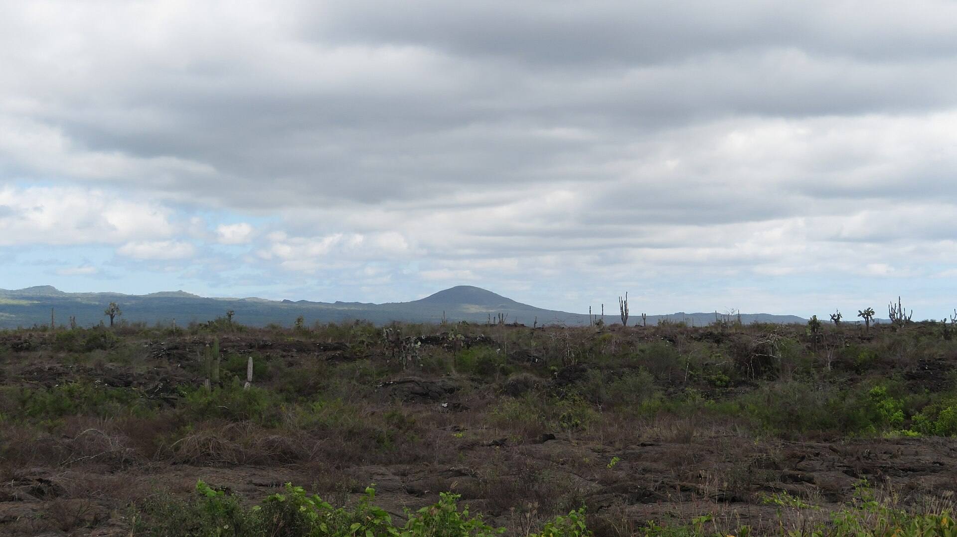
A distant view toward Volcán Chico; an orientation photograph, not a route map.
Sources & last checked
Checked 20 October 2026. Prices, access and transport can change; confirm with the linked official source before travelling.
Plan your trip
Compare tours
Check current dates, inclusions and availability on GetYourGuide.
We may earn a commission on bookings through these links. How this works.